We often try and change our writing surface to keep things interesting. Instead of drawing on a flat tray, we stood it up. The boys had a go drawing the different continents of the world.
Resources
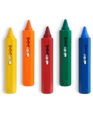
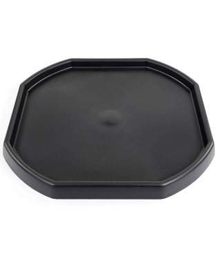
- Tuff tray
- Bath crayons
- World map
Method
America
Ioan went first and drew North and Central America.


Finny drew South America.


Africa


Asia
Although Russia and the Middle East are part of the continent of Asia, we split it up in to three separate groups based on the research we had done on animals and their habitats. The yellow part he called Asia.


In purple, Finny drew the Middle East and Russia.


Europe


Finny started off with the United Kingdom, telling me what he already knew about it.
Then moved on to the rest of the continent of Europe.


Australasia


Finishing North America


As he finished off colouring his map, the sun flare was really shining on the Northern Hemisphere. Finny was delighted, observing that, “When it is sunny for us in England, it is night time for Grandad Bill in New Zealand. That really happens!”


The Arctic Circle and Antarctica
They finished off their map, by adding the North and South Pole.
The 5 Oceans
We took a break to look at animals that live in different continents around the world, then Ioan explained where the five oceans are.
DfES Outcomes for EYFS and National Curriculum (2013)
Geography KS1 programme of study
Locational knowledge
- name and locate the world’s seven continents and five oceans